

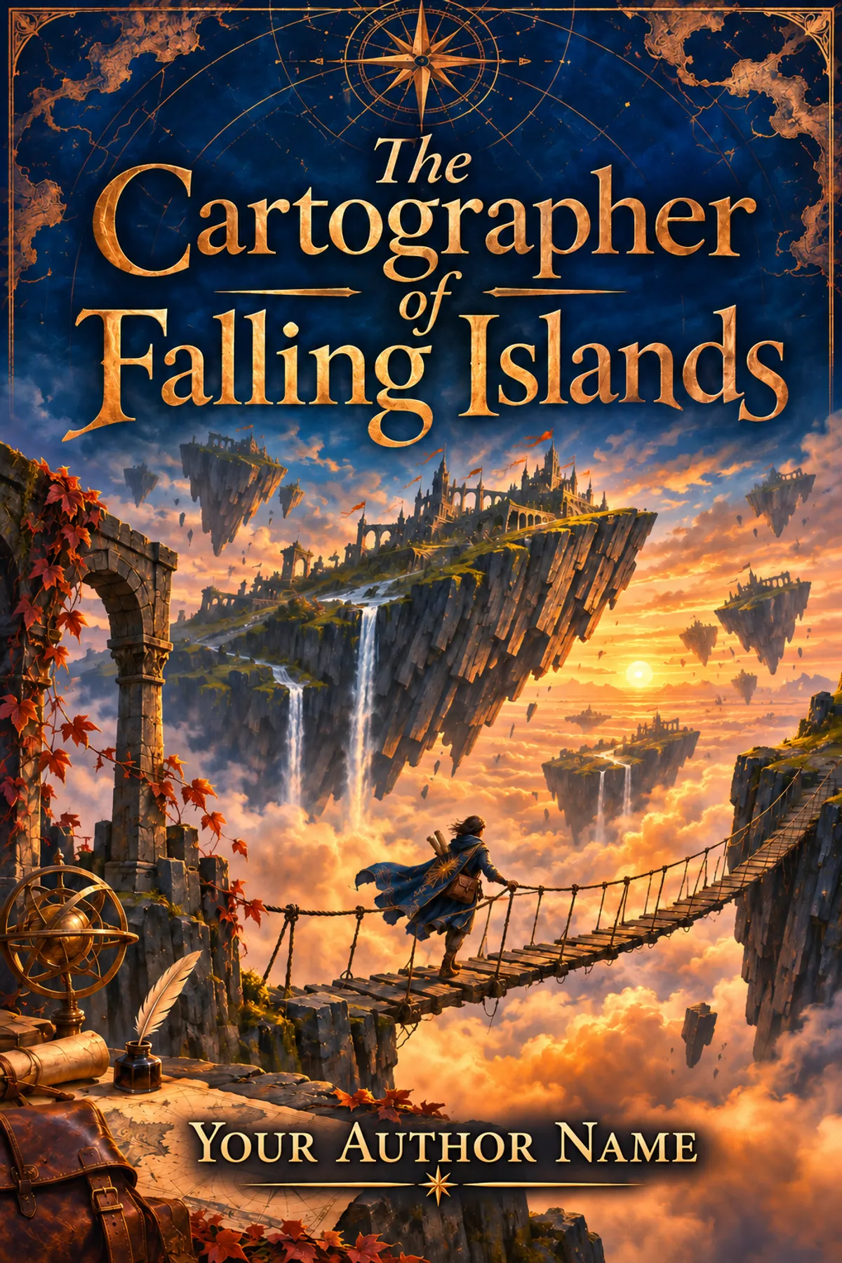
The Cartographer of Falling Islands
A surveyor learns that the floating islands descend whenever their inhabitants erase a road from the public maps.
ImagineYourBook writes a fresh draft from this idea.
How it begins
Martin put a pebble on the table to prove that the island was falling.
The bridge captain watched it roll into her breakfast.
"You could have used your own table," she said.
"Mine is bolted to the survey platform."
"An example I intend to follow."
Esther removed the pebble from her porridge and placed it in a shallow dish. The dining room tilted almost imperceptibly. Beyond the open shutters, clouds drifted upward past the inn's foundations. Martin had watched clouds for twenty years. He had never liked seeing them move in that direction.
"Four inches since dawn," he said.
"The west mooring stretches in cold weather."
"I measured against the sun."
She lowered her spoon.
At the next table, two merchants continued arguing over the price of rope. A boy carried fresh bread from the kitchen, steadying the tray with his shoulder. Nothing had yet happened that could not be explained by an uneven floor or a tired builder. Martin wondered how much longer they would be allowed that comfort.
He opened his map between the dishes.
"This path. When was it closed?"
Esther leaned forward. A pale scar divided one eyebrow. He remembered seeing her carried from the eastern bridge after the winter cable snapped. She had returned to work before his report was finished.
"Yesterday. Council order. It's been unused for forty years."
"Unused isn't the same as absent."
"It goes nowhere."
"It used to go somewhere."
The innkeeper approached with a wedge of wood and knelt beside the table. Martin lifted his map before the woman could see the red circle around the old path. He had drawn that circle in his father's ink, using his father's instruments. Both had been purchased with a reward he was only beginning to understand.
Esther caught his wrist.
"What was on the other end?"
Outside, a bell sounded from the western tower. Once for fog. Twice for fire.
It rang a third time.
Martin folded the map along a crease that had hidden a village for forty years.
Your idea. Your book.
Keep the spark. Change anything.
Create my bookCreated with ImagineYourBook. Free to use as inspiration.
Outline and characters
- Martin measures an island falling by inches.
- Esther closes a dangerous bridge.
- An erased footpath matches the first descent.
- They restore one route and slow the fall.
- The capital orders all obsolete maps burned.
- Martin discovers his family profit from a destroyed bridge.
- Esther assembles displaced bridge crews.
- Officials blockade the remaining public route.
- Residents rebuild the bridge using competing historic maps.
- The islands stabilize and public mapping becomes a shared trust.
Characters
- Martin Rook, 46. A surveyor mapping emergency evacuation routes
- Esther Dane, 37. A bridge captain
Series possibilities
- A bridge crew discovers a route that disappears from every new map.